
Tasmap
Create beautiful interactive maps for stories, events, and data without technical skills
Gallery
About Tasmap
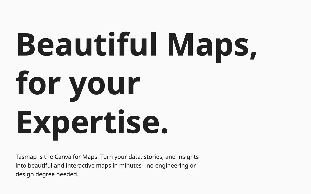
Tasmap positions itself as the Canva for maps, which captures its core proposition of bringing accessible design tool patterns to geographic visualization. The platform lets you create interactive maps from your data, stories, and insights without needing engineering expertise, GIS training, or professional design skills. Traditional mapping tools tend toward either consumer simplicity that severely limits what you can express or professional complexity that demands technical knowledge most people don't possess and don't want to acquire. Tasmap aims for the productive middle ground where meaningful customization and professional looking output remain accessible to non technical users who simply need to present location based information effectively.
The design philosophy emphasizes what the platform calls maps with focus and taste. That translates to clean, ad free presentations where your content takes visual priority over cartographic clutter, unnecessary decorative elements, and distracting interface chrome. Brand alignment matters significantly here because maps embedded on business websites, included in professional communications, or displayed in public presentations need to match their surrounding context visually rather than clashing with established brand guidelines. The platform promotes this brand compatible approach as a trust building element, which makes sense when you consider that poorly designed or generic looking embedded content undermines the credibility of whatever professional context surrounds it.
Maps created on Tasmap extend substantially beyond simple location marking with pins on a standard base map. The platform supports building what it describes as maps as apps, meaning interactive experiences with application like functionality that users engage with directly through exploration, filtering, and interaction rather than passive viewing. Your audience can navigate through map content, reveal additional information, filter by categories or attributes, and interact with the geographic data you've assembled without downloading separate mobile applications or installing anything on their devices. Built in AI assistants help with map creation tasks, handling some of the tedious work involved in organizing and presenting geographic information effectively. Share and embed capabilities let you distribute finished maps across websites, news articles, Notion workspaces, Obsidian knowledge bases, and social media platforms where your audience actually encounters your content.
Target users for Tasmap span a notably diverse range of professions and use cases. Educators can present geographic information in visually engaging formats that help students understand spatial relationships and regional patterns. Local governance bodies can communicate with constituents about zoning decisions, municipal services, community resources, and planning initiatives in ways citizens can actually understand. Real estate professionals can present property locations in meaningful neighborhood and regional context rather than isolated addresses. Travel agencies can showcase destinations, itineraries, and experience options in formats that help clients visualize journeys. Event planners can help attendees navigate venues, locate facilities, and understand event schedules through geographic context. Media outlets and bloggers can add geographic dimensions to their coverage that text alone cannot convey effectively. Curators can map collections, exhibitions, historical events, or cultural phenomena across space. The common thread connecting these varied users is people who need to present location based information clearly and professionally but don't have specialized mapping expertise or contractor budgets for custom development.
Pricing begins with a free tier that includes access to all platform features and importantly doesn't require payment to save your completed work. That distinction matters because many freemium tools let you create content freely but then paywall the save function, forcing immediate payment decisions. Paid plans start at 9 dollars monthly for users who want predictable ongoing costs, premium capabilities, or features that exceed free tier limits. The platform frames this pricing as substantially more affordable than hiring expert contractors for custom mapping work, which typically runs anywhere from 1,000 to 5,000 dollars or more for bespoke geographic visualizations depending on complexity and contractor rates in your market.
Privacy commitments from Tasmap include no GPS tracking of users who view your published maps and explicit statements that the platform doesn't sell user data to third parties. Simple pricing structures without hidden complexity and readable terms documentation signal the platform's approach to user relationships and business practices. The AI tools integrated into the platform are positioned as supportive assistants that help with tasks rather than autonomous replacements that make decisions without human input, reflecting a measured stance on automation that some users will appreciate compared to tools that promise AI will handle everything. For anyone who has struggled to present geographic information without either oversimplifying their message or drowning in technical complexity, Tasmap offers a middle path that prioritizes clean visual presentation and accessibility over either extreme.
Key Features
- Visual map builder with no code required
- Interactive elements beyond simple pins
- Embed and share across multiple platforms
- AI assistants for routine mapping tasks
- Custom styling to match brand or purpose
- Google My Maps migration support
Pros & Cons
What we like
- Free tier includes all features without artificial limits
- Maps can function as interactive mini-apps
- Privacy-focused with no GPS tracking or data selling
- Accessible to non-technical users
Room for improvement
- Not a full GIS tool for complex spatial analysis
- Newer platform with smaller user community
- Some advanced needs may still require custom development
- Paid tier required for heavier usage
Frequently Asked Questions
What is Tasmap?
Is Tasmap free?
Who is Tasmap for?
Can I migrate from Google My Maps?
Best For
Featured in
Alternatives to Tasmap

Framer
Visual website builder that lets designers ship production-grade marketing sites with real CMS, SEO controls, and code components.

Sanity
Composable content platform with a customizable studio, real-time collaboration, and a queryable structured content backend.

Carrd
Single-developer-built site builder for fast, single-page sites: link-in-bio pages, landing pages, and personal cards.

Teachizy
France-based no-code platform for building, hosting, and selling online courses without tech skills
Reviews (10)
Decent with some rough edges
Started using Tasmap casually, now it is pinned in my dock. What stands out is how it handles privacy-focused with no gps tracking or data selling. Found it works best for creating interactive travel itineraries. My only gripe is not a full gis tool for complex spatial analysis. Easy yes for anyone weighing the same trade offs.
Finally something that fits
Started using Tasmap casually, now it is pinned in my dock. Their take on free tier includes all features without artificial limits is genuinely good. The thing I keep coming back to is how reliable it is. Found it works best for mapping event venues and schedules for attendees. Easy yes for anyone weighing the same trade offs.
Two months in, no regrets
Tasmap has quietly become part of my daily flow. It does what it says, which is rarer than it should be. Mostly using it for creating interactive travel itineraries. Hard to imagine going back to my old setup.
It just works
Tried Tasmap on a side project first, then rolled it out everywhere. Their take on embed and share across multiple platforms is genuinely good. Glad I made the switch.
Quietly excellent
Three months of Tasmap later, here is what holds up. Got real value out of free tier includes all features without artificial limits. Worth it for what I get out of it.
Two months in, no regrets
Came to Tasmap after getting frustrated with what I had before. Got real value out of custom styling to match brand or purpose. Worth it for what I get out of it.
Two months in, no regrets
Hadn't planned on switching, but Tasmap was hard to ignore. The thing I keep coming back to is how reliable it is. Found it works best for building educational maps for history or geography.
Recommended without reservation
Three months of Tasmap later, here is what holds up. Support actually answered when I had a question, which surprised me. Setup was painless and I was productive the same day. Found it works best for visualizing real estate listings by location.
Quietly excellent
Came to Tasmap after getting frustrated with what I had before. The core workflow is smooth once you are set up. Recommending it to people in a similar spot.
It just works
Found Tasmap on a Show HN thread and I am glad I clicked. Got real value out of free tier includes all features without artificial limits. Mostly using it for building educational maps for history or geography. Would sign up again without thinking twice.
Badge builder
Add Tasmap to your website
Choose a badge style and size, preview it here, then copy the generated HTML. Badge images are self-contained SVGs and do not require an external script.

<a href="https://toolindex.net/tools/tasmap?ref=badge" target="_blank" rel="noopener">
  <img src="https://toolindex.net/badge/tasmap/medium.svg" alt="Tasmap - Listed on Tool Index" width="180" height="50" />
</a>How to use the badge
- 1. Pick the style, size, and theme that fit your layout.
- 2. Copy the generated HTML from the code block.
- 3. Paste it into your footer, homepage, or press page.
Standard badge available
The standard listing badge is available now. Score and circle badges are limited to tools currently ranked in the top 10 of a category.
Badge clicks return visitors to this profile with a referral tag so the source remains identifiable.
Related Tools
Sanity
Composable content platform with a customizable studio, real-time collaboration, and a queryable structured content backend.

Bubble
Full-stack no-code platform for building real web applications with visual programming, a database, and a workflow engine.

Tally
Form builder with a Notion-like editor, conditional logic, payments, and a generous free tier with unlimited submissions.

Glide
No-code platform that turns spreadsheets and databases into mobile and web apps, with computed columns and AI actions.
Work on Tasmap? Request listing access or correction